




Scale stays explicit
At the 1:1 reference scale, a block is a metre. Smaller world presets can trade area for density without changing the core data model.
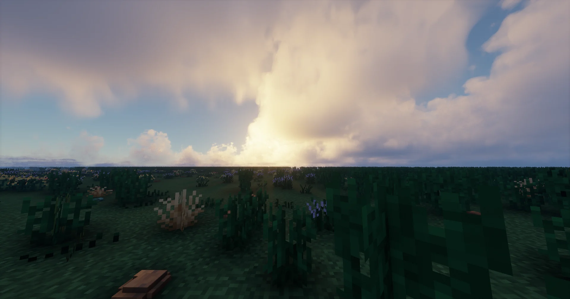
REAL DATA · REAL SCALE · PLAYABLE WORLD
A world generator that turns real elevation, oceans, rivers, climate, land cover and regional data into one continuous Minecraft Earth.
THE IDEA
EarthGen is designed around the physical structure of Earth: terrain first, then water, climate, surface materials and regional detail. The result should feel like a place, not a heightmap demo.
At the 1:1 reference scale, a block is a metre. Smaller world presets can trade area for density without changing the core data model.
Regional high-resolution DEMs are authoritative only where their real coverage is valid; global sources remain the fallback.
Elevation, rivers, oceans, climate, geology and ecology are not independent decorations — they constrain each other.
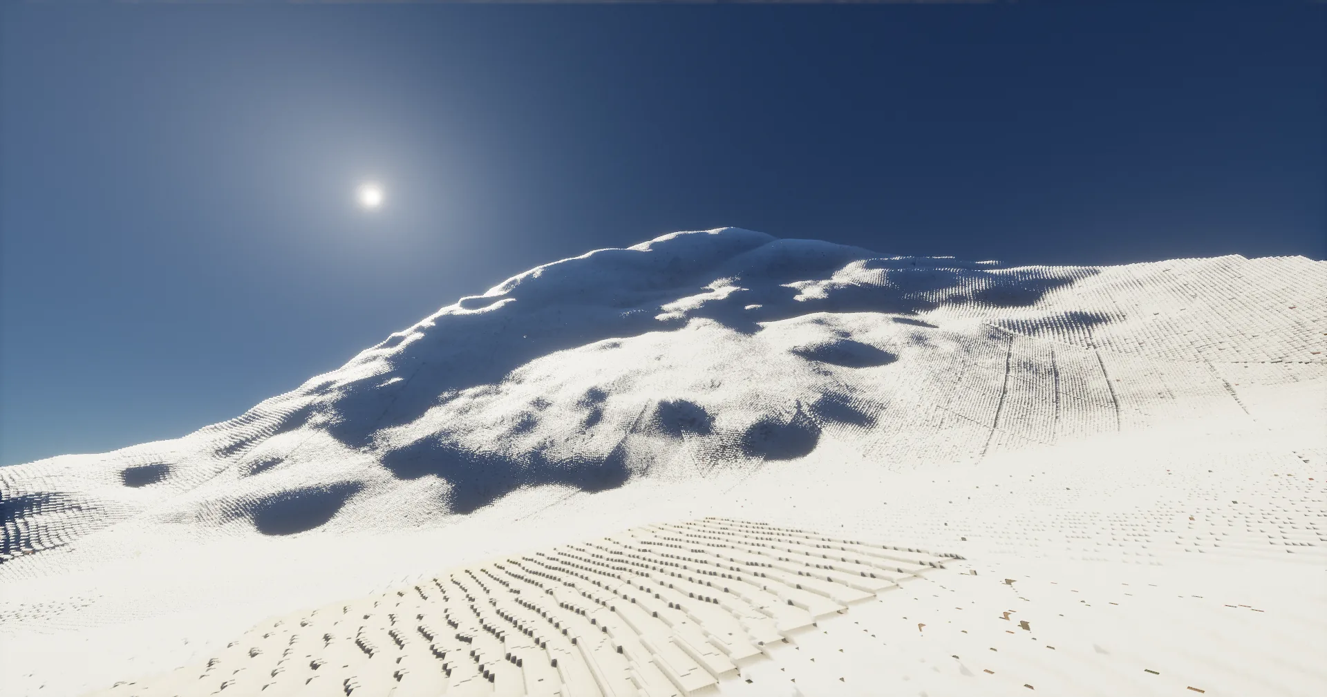
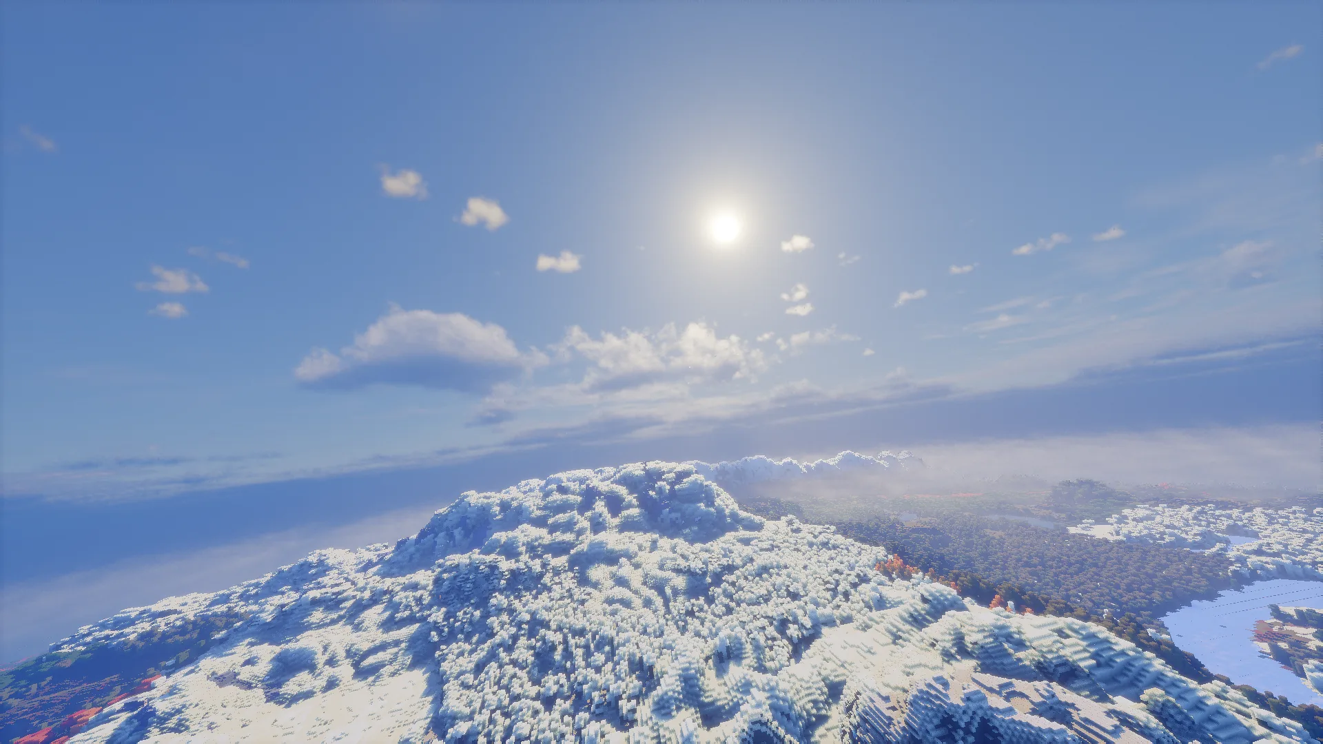
ONE PLANET · MANY SYSTEMS
Switch the system below. The visual, data layer and generation logic change together — this is closer to how EarthGen is actually built than a static feature list.
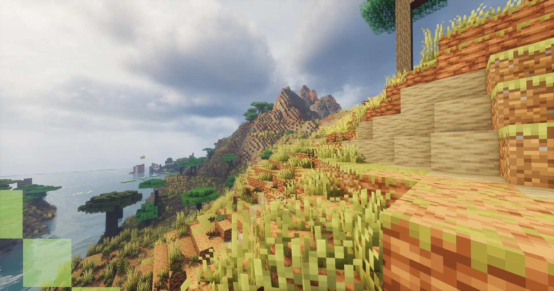
DEM / SURFACE
A global DEM provides continuity. Higher-resolution regional sources replace it only inside valid coverage, so detail improves without changing the shape of neighboring terrain arbitrarily.
CLIMATE / ECOLOGY
Temperature, precipitation and land-cover data guide biome and surface decisions. The goal is not random biome noise but geographically coherent regions.
HYDROLOGY / OCEAN
Rivers, lakes, coastlines, surface-water observations and ocean-floor elevation feed a separate hydrology pipeline so water can follow the world instead of cutting through it blindly.
TALL WORLD / STREAMING
EarthGen has a native tall-world path for extreme vertical terrain and a dedicated far-teleport/streaming pipeline so very high or deep locations can remain part of the same world.
SCALE LAB
Choose a preset and EarthGen shows exactly what one Minecraft block represents and how far one real kilometre spans in the generated world.
The numbers are exact; the dense grid is simplified visually at very large block counts.
1,000 blocksDATA STACK
Select a source to see its role. The public site shows the architecture without exposing internal checkpoints or temporary developer paths.
Choose the best valid dataset for the location.
Confidence and morphology logic preserve geography while repairing noisy or incomplete detail.
Prepared data is read locally; heavy analysis stays out of chunk workers.
The processed geography becomes one continuous playable Earth-scale world.
IN-GAME / DEVELOPMENT
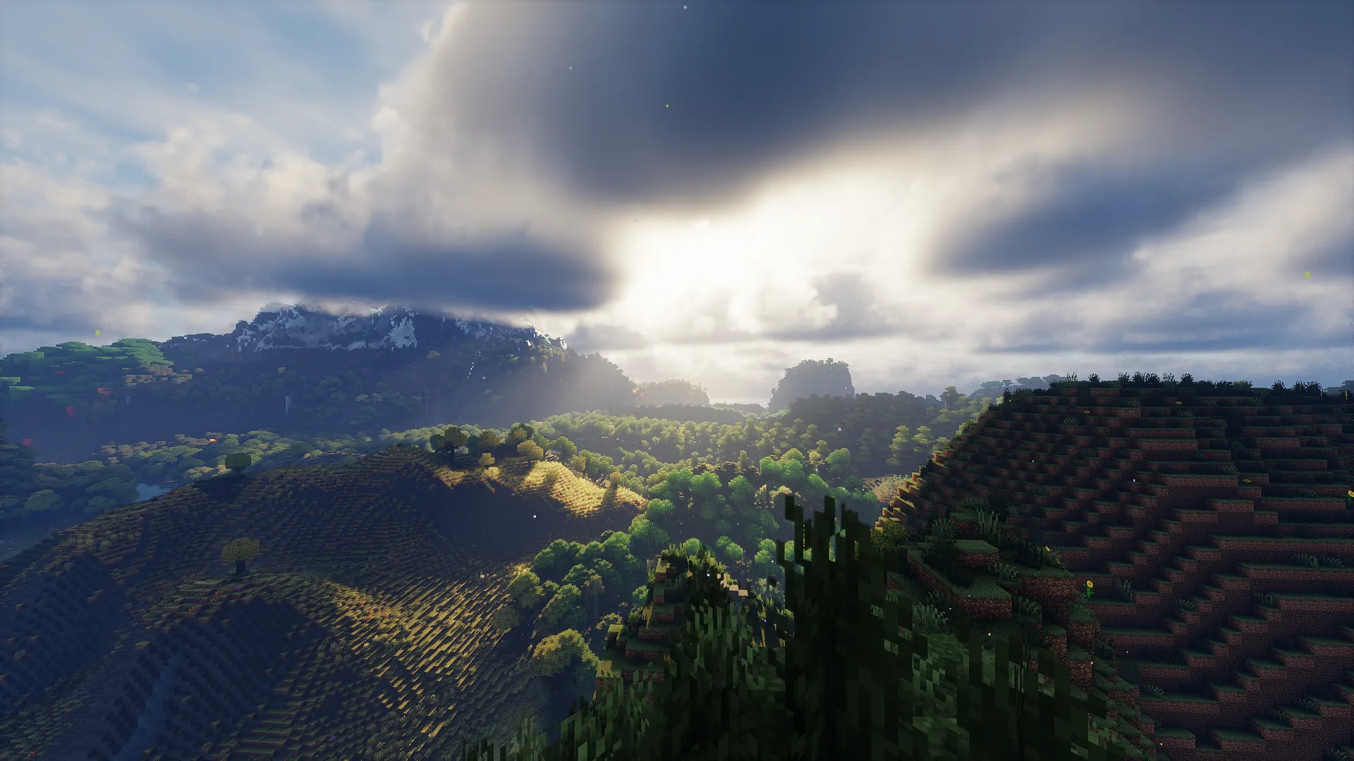
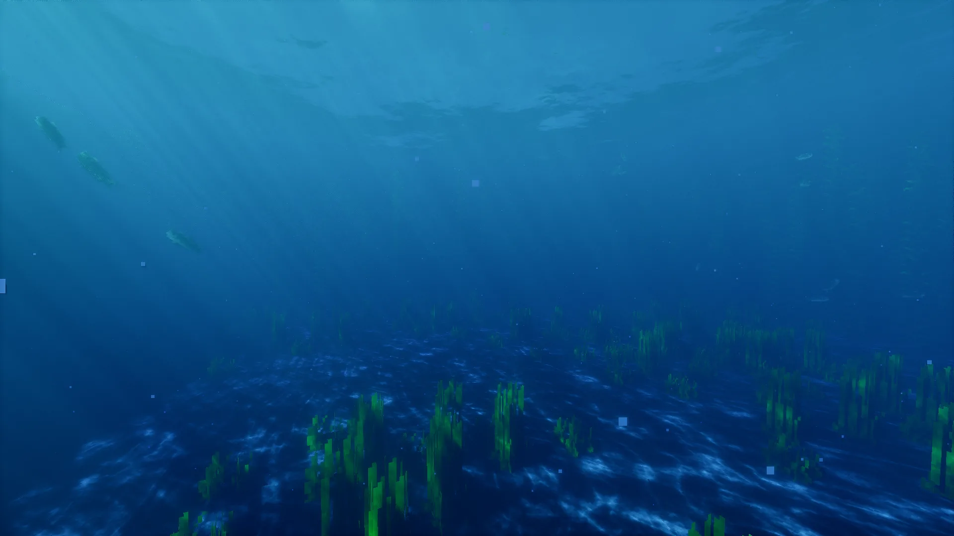
A clean selection of real EarthGen development captures. Open any image full-screen, or expand the gallery for more scenes.
CURRENT DEVELOPMENT STACK
These labels describe the current development environment, not a final support guarantee. Compatibility changes as the core stabilizes.
Primary loader and runtime target.
Dedicated climate, surface and world-generation integration is under active development.
Current visual test environment.
Used while validating enormous view distances and tall terrain.
Used in chunk-generation and performance testing.
Physics integration remains experimental.
The architecture is being kept portable so other loaders and Minecraft versions can be targeted later.
FOLLOW THE BUILD
Discord carries development updates, screenshots and test results. GitHub will join it when the public repository is ready. Patreon and Ko-fi remain separate ways to support the project directly.
No fake download button. A public download appears only when a validated build is ready.